Phone: +91- 9947982868

Email:gisglobaltrv@gmail.com

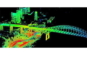
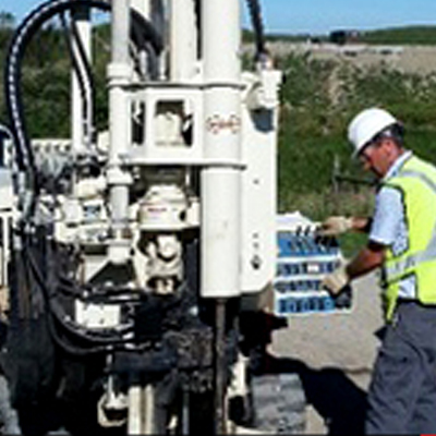
Our department of Survey and GIS at GLOBAL Survey Group conducts surveys using wide range of technologies ranging from traditional to modern methods such as total station, GPS, GPR etc.

Global Survey group works with many organizations to convert their paper and digital information into meaningful and reliable GIS database layers. Our services include digitizing, scanning, geo-referencing, GPS, data interpolation, and integration,

and assuring data quality using sophisticated techniques. Global Survey group has the capabilities to create GIS layers from many formats whether it is Database format or in hard copy format.

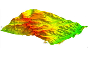
• Topographical Survey (Land Survey, Tank Survey, Power line Survey, Lake Survey, Pipeline Survey, As Built Layout Survey)

• Traffic Survey

• Physical Survey ( Collection of POI (Point of Interest) like addressing system of Residential, Commercial, etc

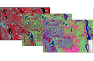
• Digital map conversion using USGS images and atlas maps

• Data attachment for the vector entities using AutoCAD map, micro station of recent version

• Preparation of Index Maps of the project entire area showing the Control points and salient features

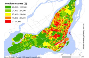
• Automated mapping of data and generation of maps on various scales

• Incorporation of Corrections / Updations of field verification

• Scanning of the Revenue maps

• Georeferencing of the scanned images

• Scaling, warping and edge matching

• Vectorisation of the georeferenced images

• Generation of data for GIS

• Attributes and layerisation

• Conversion to Shape and Geodatabase files

• Cad civil and structural drawings

• Quality Control

• and finalization of map

• Preparation of reports

thumb1

Our department of Remote Sensing at GLOBAL Survey Group is specialized in Topographic Analysis, Monitoring of changes in land use/ land cover using multi- sensor satellite data, Forest cover monitoring, Change detection Analysis, Texture analysis and Data fusion techniques, FCC of three textural layers, Biodiversity characterization, Monitoring/Evaluation of watersheds using multi temporal remote sensing data, Environmental impact analysis.

• Topographic Analysis

• Monitoring of changes in land use/ land cover using multi- sensor satellite data

• Forest cover monitoring

• Change detection Analysis

• Texture analysis and Data fusion techniques

• Biodiversity characterization

• Monitoring/Evaluation of watersheds using multitemporal remote sensing data

• Digital Cartographic database

• Environmental impact analysis

thumb2

The 3D GIS department focuses on delivering high quality photo realistic 3D models including the design and development of a total 3D GIS solution by integrating the GIS data and terrain information.

thumb3

Our cartography department transforms the raw GIS data into high definition maps which are used in many applications such as city maps, travel guides, thematic analyses and online applications.

thumb4

Our department of LiDAR at GLOBAL Survey Group is specialized in classification and processing of LiDAR data ranging from airborne to terrestrial. Bare Earth Extraction / DTM (Ground and Non Ground Classification)

• Advance Classification – Building, Vegetation, Water Bodies

• Contour Generation

• DEM Generation

• Intensity Map Generation

Contact Details

Telephone:+91- 9947982868
Email: gisglobaltrv@gmail.com

Global survey Gis Engineers & Surveyors
Varkala,
Trivandrum

Portfolio Highlights

About Us

Global Surveyors & Engineers is fully independent local provider of specialized land surveying consultancy services. It offers government agencies; consulting engineers, the construction industry and others the opportunity to access internationally recognized expertise on a local.